

My favorites
No favorites yet
Add a beach, port, or city to quickly check the tides you care about.
Quick access
Browse coastal areas to access ports, cities, and beaches.


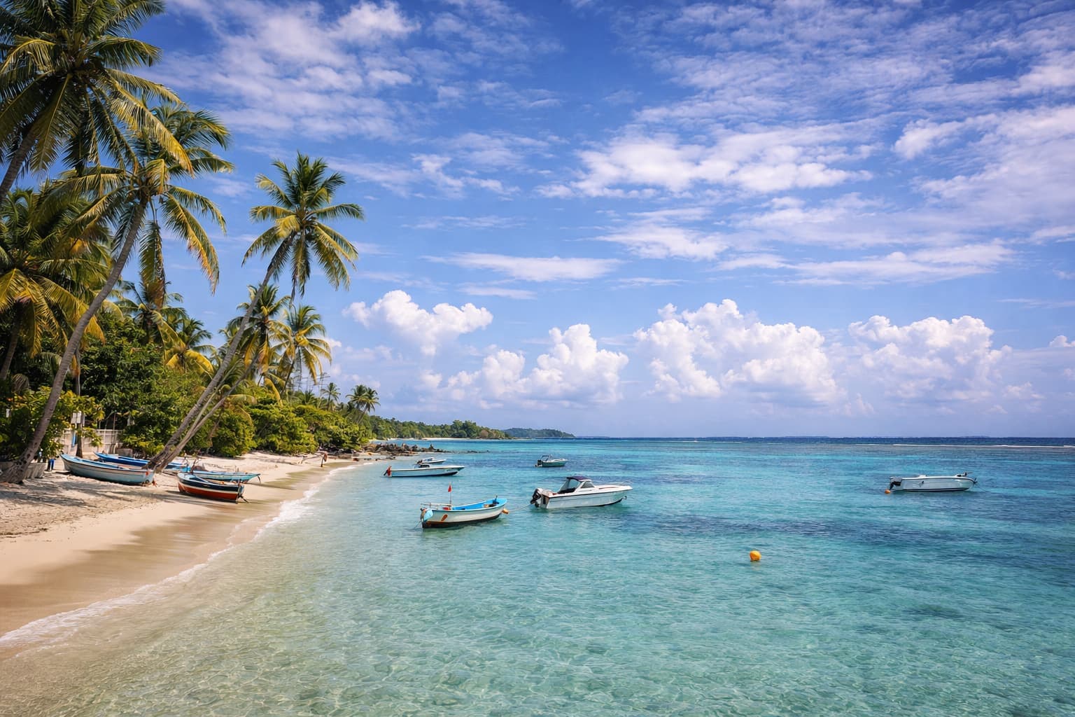


Popular beaches
Frequently asked questions
What is a tide coefficient?+
The tidal coefficient is a dimensionless index used in France to estimate the tidal range (difference between low tide and high tide) relative to a reference value.
The higher the coefficient, the greater the expected difference between low water and high water. In practice, values generally range from about 20 to 120.
This indicator is defined based on the port of Brest and is mainly representative of the English Channel and Atlantic coasts. It is used to compare the strength of tides, not to provide an exact water height.
How are tide times determined?+
The displayed times come from forecast calculations based on the astronomical cycles of the Moon and the Sun.
These methods, used in oceanography, estimate low‑ and high‑tide times for each location using specialized reference data.
Results are theoretical estimates and may vary slightly with local conditions.
Why do tide times and heights vary by location?+
Tides do not behave the same way everywhere.
Coastline shape, seabed depth, estuaries, bays, and currents strongly influence tide times and water heights.
Two nearby locations can therefore show noticeable differences. These variations are normal.
What is the difference between a port, a city, and a beach?+
Information is provided for different types of locations:
- Port: a maritime reference point, often near a measurement station
- Coastal city: a local estimate near the shoreline
- Beach: a practical indication for a specific site
In all cases, the goal is to provide a clear reading of tides as close as possible to the selected location.
What are tide information used for?+
Times, heights, and coefficients help anticipate how sea level changes throughout the day.
They can help plan coastal activities such as walking, shellfishing, water sports, or shoreline observation.
These data are intended to inform and improve understanding of tides.
Are tide times reliable?+
The forecasts are suitable for common, informational use.
They describe overall trends and general sea‑level variations.
For any activity requiring high precision or involving safety, consult official services and local authorities.
Can the forecasts replace official information?+
No.
The displayed times and heights are estimates from scientific calculations.
They do not replace official maritime navigation information, local notices, or port services.
Each user remains responsible for their decisions and safety.